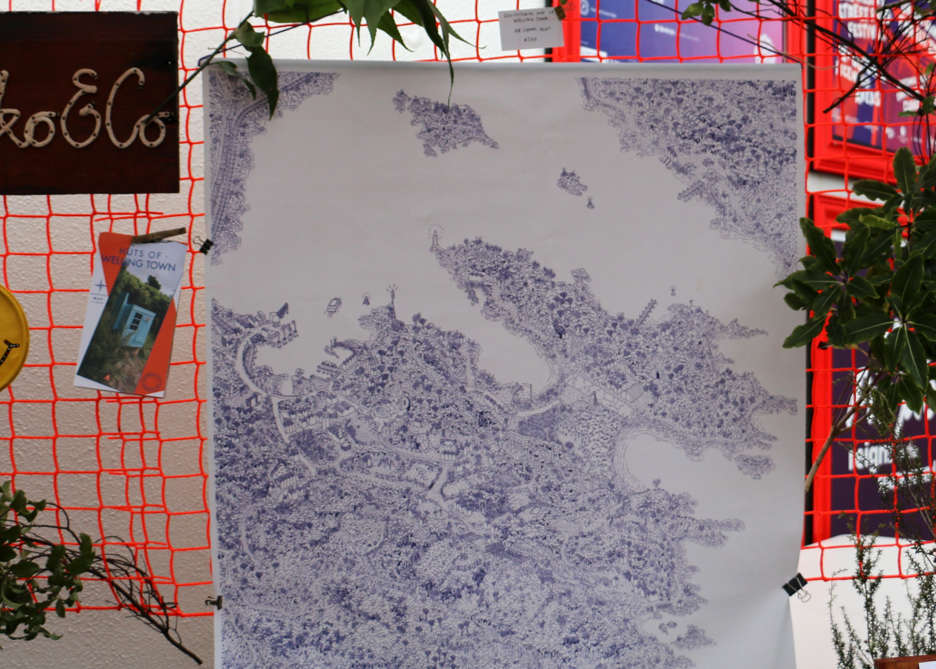
Geo-pictorial Map of Welling Town
From
$120
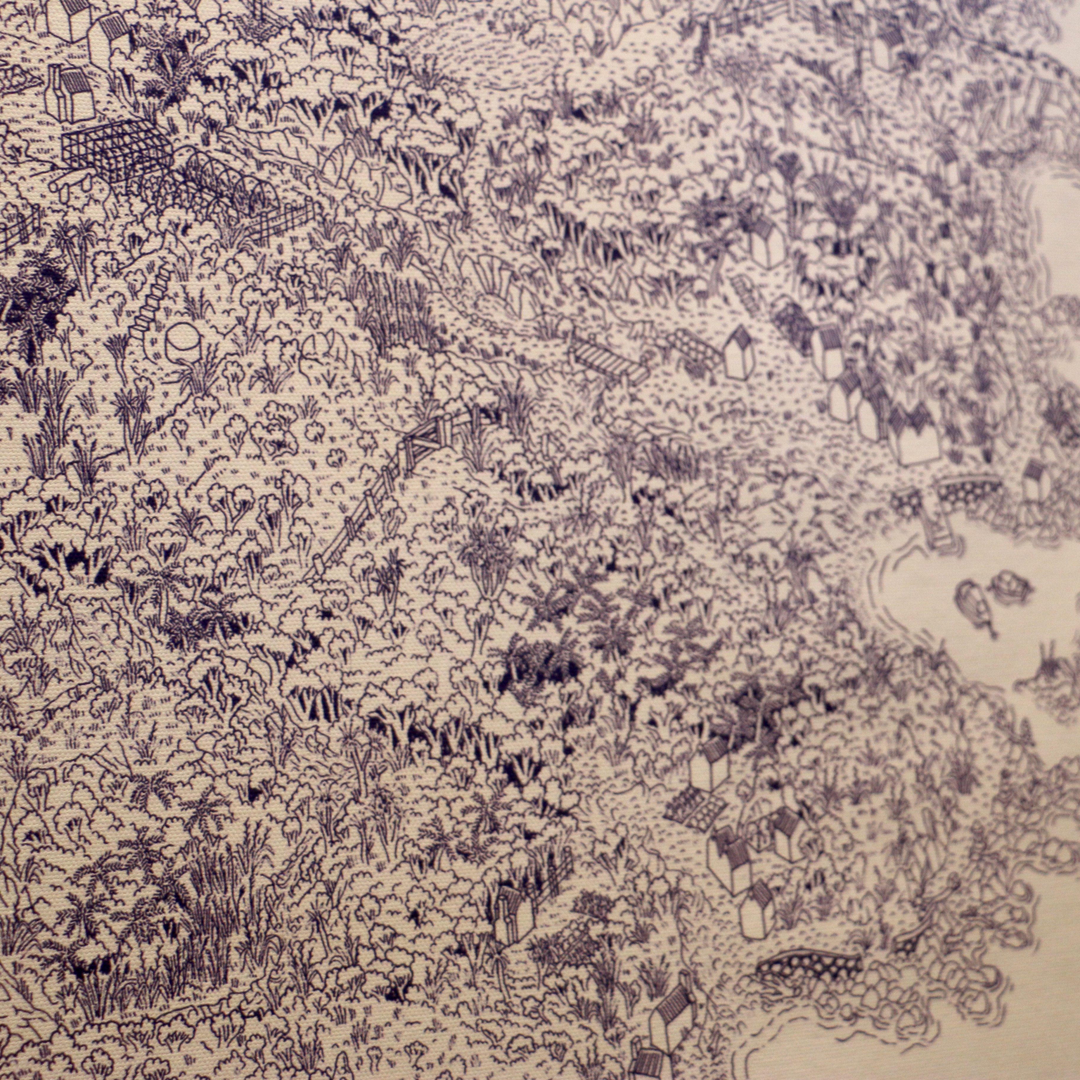
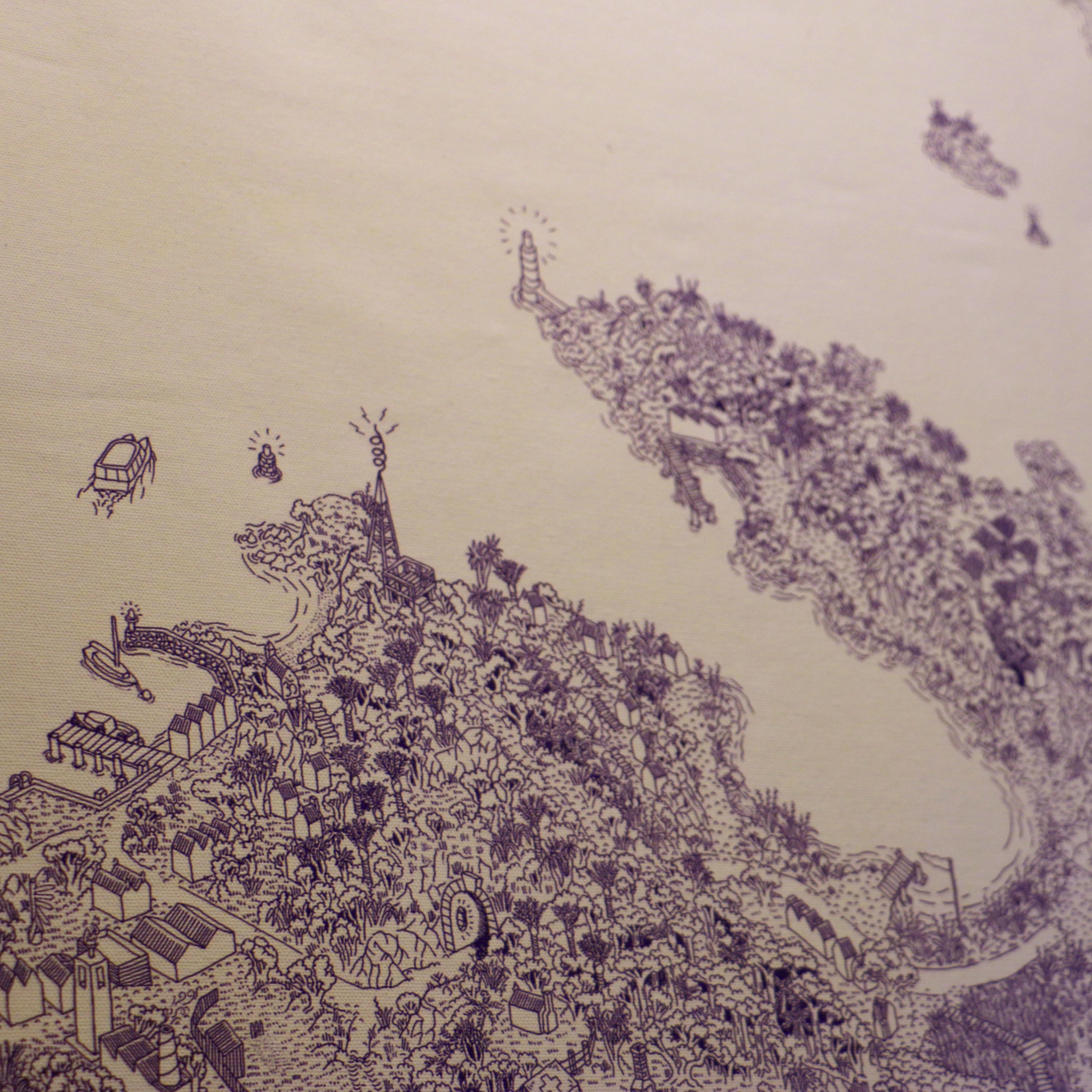
This illustrated map reimagines Wellington in miniature, surrounded by bush and ready for exploring. Set in a parallel universe where the major roads are rivers, the hospital is a tent and life is simple again. Originally commissioned as part of our Miniature Hikes exhibition; this incredibly detailed drawing is based on the actual geography of Wellington. Linework in dark purple (or other as requested).
Print options:
- Polyester Canvas, mounted on dowel supports with paracord rope
- Archival quality 310gsm photo rag paper
Size options
A2 (420 x 594 mm) - $120
A1 (594 x 841 mm) - $160
A0* (841 x 1189 mm) - $270
* Pictured on Canvas